After the final stage of Orienteering World Cup 2019 in China, someone mentioned online that several places in the sprint map do not follow the minimum requirement of spaces between building (0.4 mm on map). This is 1.6 m in the actual world for 1:4,000 scale, a standard scale for sprint orienteering map. This minimum requirement is important because below this distance, the orienteering competitors will find difficult to see the difference between a space and a line, thus affecting their decisions of route choices. This issue happens in many Chinese village orienteering maps because there are many narrow pathways in these villages.
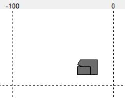
Orienteering World Cup 2019 in China -- Sprint Map. Many places have pathways less than 0.4mm on map, shown through the white circles (Source: Facebook Group - Orienteering Mappers Int.)
The following is the drawing standard for building according to International Standards for Sprint Orienteering Map (ISSprOM) 2019:
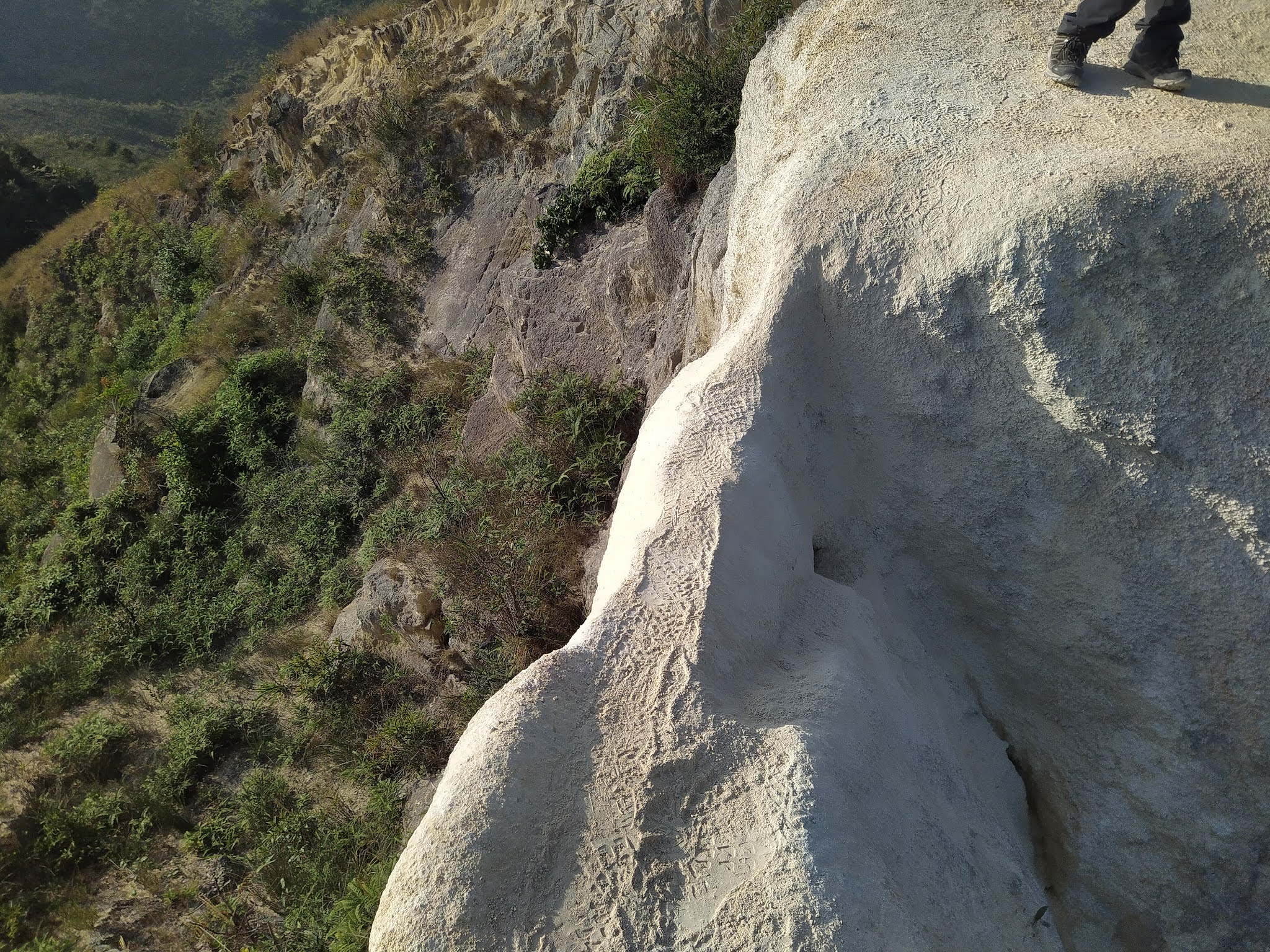
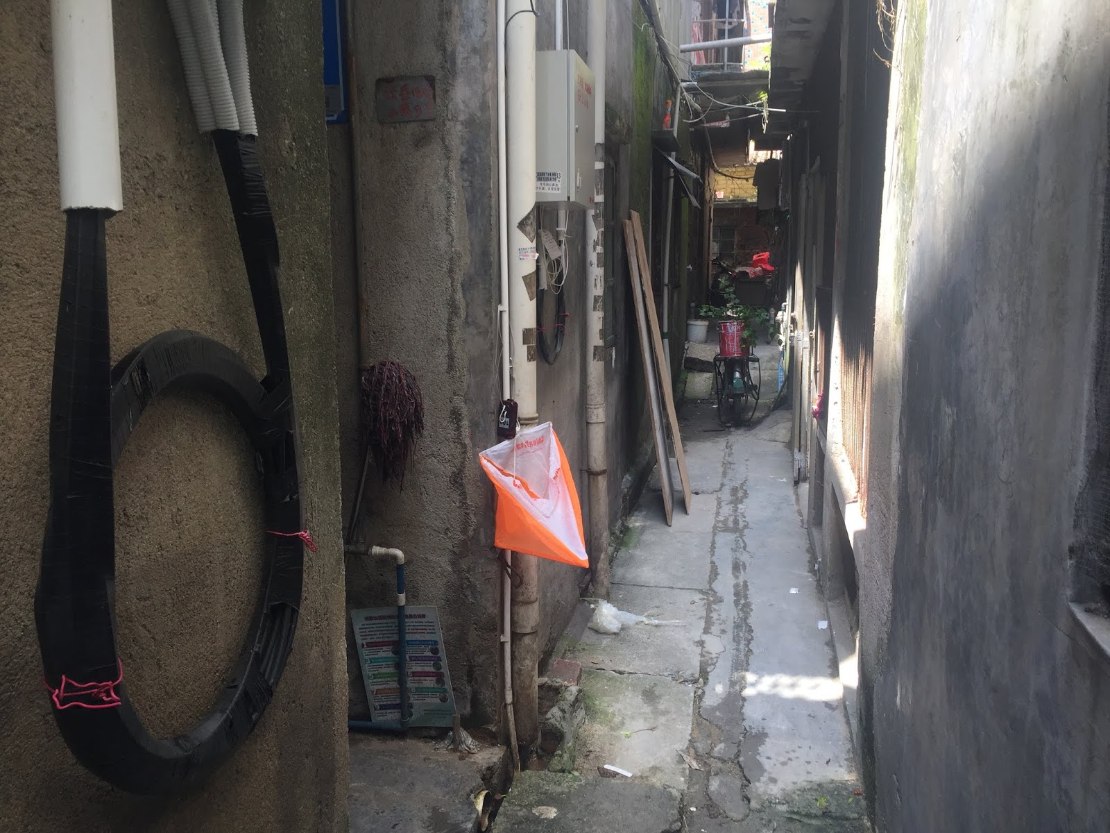
So, what if there exists pathways that are less than 1.6 m wide in actual world? One possible solution is to exaggerate the width of these pathways to 0.4 mm on map. The figure below shows pathways that are about 0.3 m to 0.6 m wide, which is difficult to run through. Yet, if these very narrow pathways are enlarged, should other wider pathways be enlarged, too? Sometimes, the width of the pathways gives hints on where one runner is. Moreover, these very narrow pathways may not be a good route choice because competitors cannot run inside.
Source: Facebook Group - Orienteering Mappers Int.
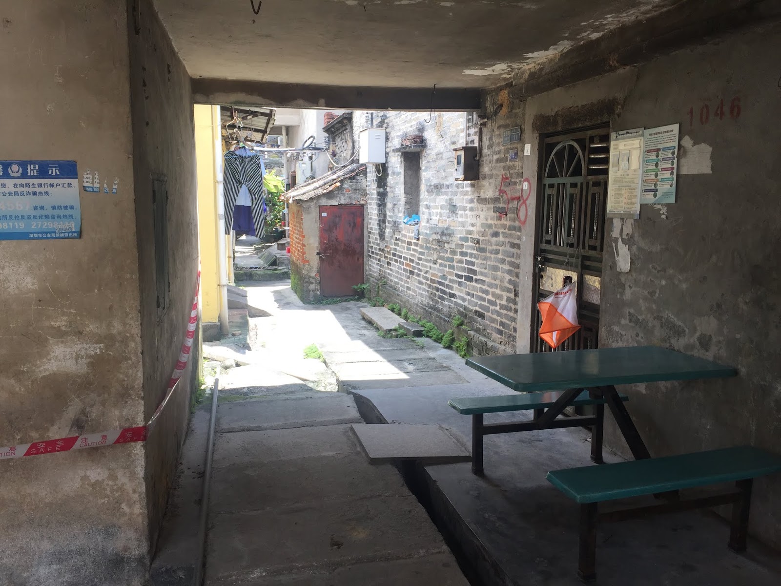
Then, we have this type. For the top photo, the width is between 1 m and 1.6 m. The pathway can be run through easily, but the width is below the 0.4 mm on map requirement. (Actually, I don't think the bottom photo has any problem. The path is over 1.6 m wide, and that little gate may just be shown as a canopy on map with a bit of exaggeration, or not adding the canopy at all)
Source: Facebook Group - Orienteering Mappers Int.
In that post, some comments that these kind of special terrain should not avoided in orienteering events, which I do not think it is helpful. IOF decided to put a world-level orienteering event in China because IOF wants to spread out orienteering to the world, and not just European countries. The international mapping standard should be applicable to everywhere in the world, so that the sport of orienteering can be promoted. Chinese villages have many narrow pathways that are below the mapping standard distance, but are easy to run. These kind of villages can give a lot of technical challenges to the orienteering competitors. Avoiding these places for organizing orienteering seems to limit the possible terrains for orienteering.
The Proposal
For these narrow pathways, I proposed the following:
1) Still exaggerate pathways if the width is between 0.8 m - 1.6 m, and they are just drawn as 0.4 mm width on map. If these pathways cannot be passed, still give olive green (impassable area) as usual.
2) For pathways below 0.8 m, introduce lines between buildings. These lines mean narrow pathways that are too narrow to have thickness, but they have the potential for passing. Something like this:
These lines are shown to signal the competitors that: there is a pathway that is too narrow. It is not worth passing through it. Pass at your own risk.
To show that the path cannot be passed, add short purple lines on both ends to show they cannot be passed. Now there is a flexibility for the mapper to indicate whether a narrow pathway can be passed or not.
If using this method, two buildings that are joined by walls should be shown as one building, with no lines in between. These lines between buildings should only be used to show there is a narrow pathway in between buildings.
More than a year ago when I was in the US, I shared the following sprint orienteering map in China with the orienteers in Chicago:
My friend said, "how special is that? It is just navigation around buildings."
My reply, "see how similar each building is in the video, and you need to sprint within these forest of buildings."
That was the course that made me amazed on how fun sprint orienteering can be in China.
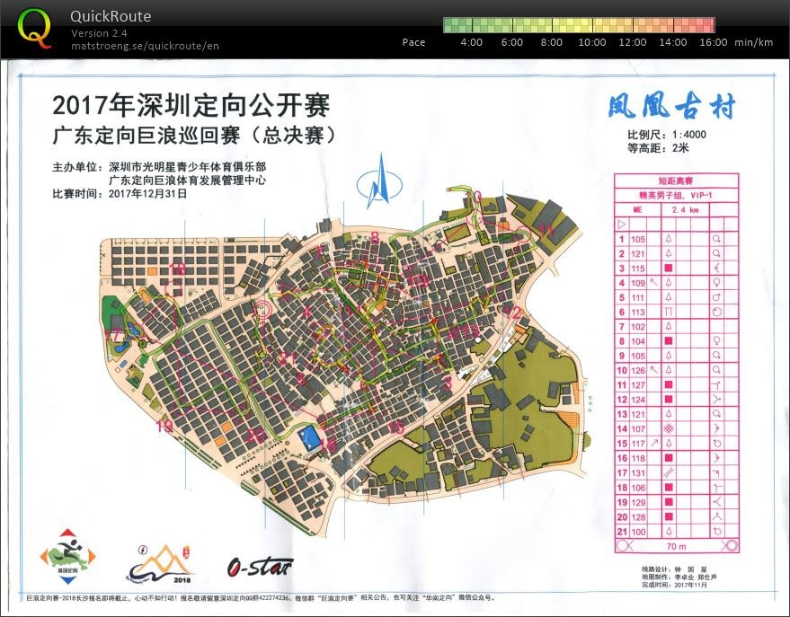
Today, I signed up a sprint orienteering in China that surpassed the difficulty of the above course. Before starting, I already wanted to say that today's course is not about pure speed, but about who can balance the speed and map reading accuracy. When reading the control description sheet (clue sheet) and seeing so many symbols for buildings, I feel excited that there will be a fun course today. In a sprint orienteering course in China with village terrain, building corners will give a lot of navigational challenges.
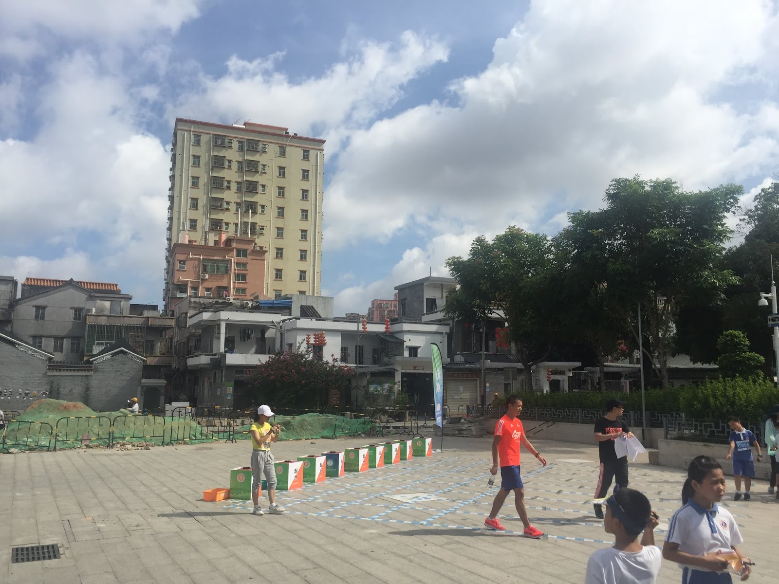
The surrounding areas at the start hinted that today's sprint orienteering course will be in a village terrain, which can be a lot of fun in terms of navigational challenges when running with speed.
In the end, I read a course that needs mental focus almost everywhere, which is my expectation. This course is probably harder than the one that I showed above, since 1) building pattern is not a simple grid in this map, 2) the pattern is rotated in this map, 3) there are many dead ends.
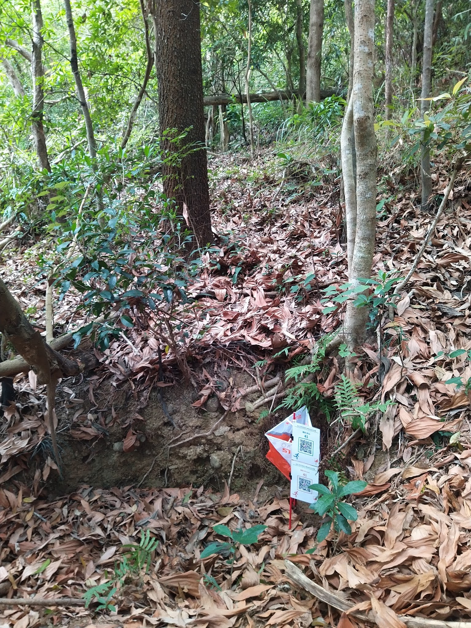
Field conditions:
To tackle this kind of courses with speed, it is important to apply several orienteering techniques, so that I can simplify the map, and run fast and locate myself accurately:
1) Thumbing and Map Folding:
You do not want to lose track of which alley you are in, and you do not want to make parallel mistakes (two features that are close to each other and look similar, and one confuses one feature with another).
2) 3S - Slow, Set map, Select
a) Slow: when to slow down, how slow (or even complete stop)
b) Set map: needs to do it automatically every time, using the building grid system
c) Select: go forward? move back? turn left? turn right?
3) Decide to do Coarse or Fine Orienteering
a) Coarse orienteering: Control 5-6 -- Go back to the main road (handrail) and run
b) Fine orienteering: Control 6-7 -- Slow down while moving within the alleys, counting intersections and collecting obvious features (e.g. open lands, permanently closed areas, wide paved areas) along the way. These features may also be attack points to the control.
4) Catching Features
A wider alley or road or even a fence at an intersection can be your catching feature to signal that you go too far.
5) Traffic Light
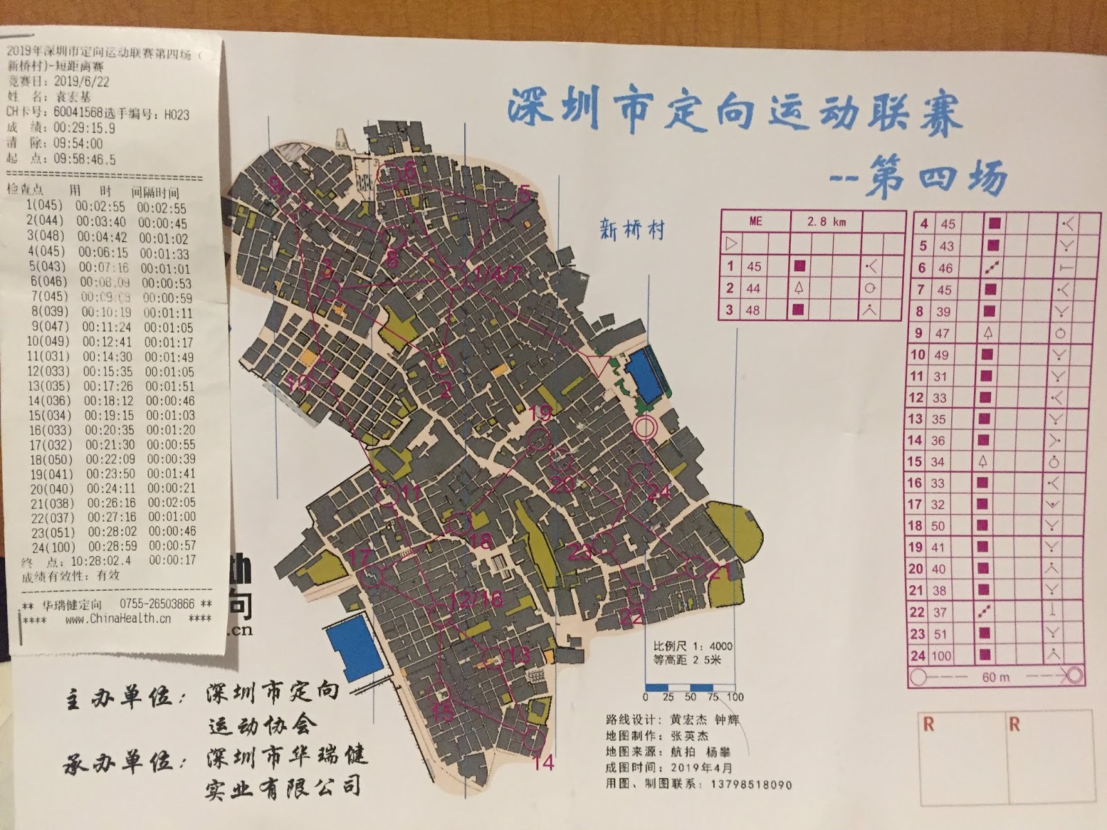
E.g. Control 9 -10
a) Green: run back to the road, turn left, keep running until the road starts to narrow, then turn right, run straight until seeing a wide area
b) Yellow: turn left to go in one row, then turn right
c) Red: look carefully for the control, almost arrive
6) Route choice
Like any sprint courses, which route is shorter? Which route needs many 180-degree turns, which makes you slow down? Which route needs more fine orienteering, which makes you slow down? There are many route choices along this course.
7) Aiming off
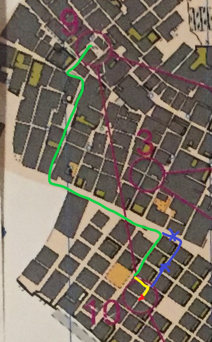
E.g. Control 9 - 10
When running on the road, I do not turn right to the correct alley and do not know when the control will pop up (due to so many alleys to count, see figure above, blue line). I turn right one alley earlier, so that I can use the open land to know when I get close to the alley that contains the control, and I know I need to turn left for one block first, and then turn right, since I went one alley earlier.
8) Recovery Technique
At one level, it means when I know I make a mistake of navigation, where I am at. At another level, it is about intentionally not exactly know where I am to gain speed in running, and then find out where I am when I get to a large path or road.
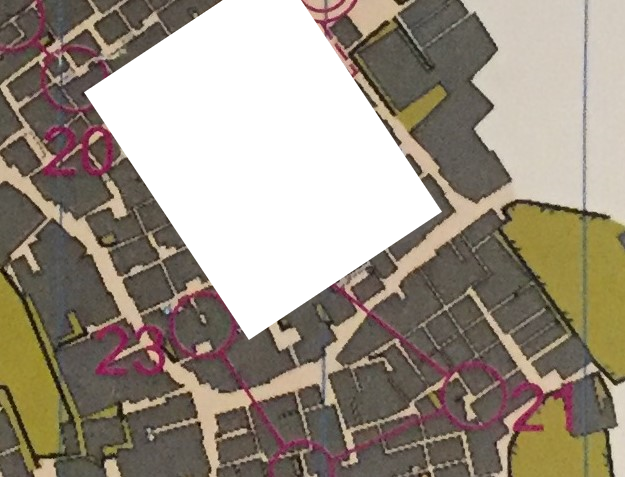
E.g. Control 20 - 21
I may select running back to the wide road to gain speed in running. I can also choose to ignore most features within the village alleys and gain speed by running inside through a more direct route. Then, at obvious feature (e.g. end of T-junction), where I most likely am. I may judge by the length of the blockage (the length of wall between two alleys, or by obvious features around. I find out where I am, and know that when I run to cross the main road, which intersection I am at.
Window training course is the kind of recovery technique that I am thinking. There are "black boxes" between the controls.
I don't quite care what is inside in the white area. I do need to know where I am when I get to the main road
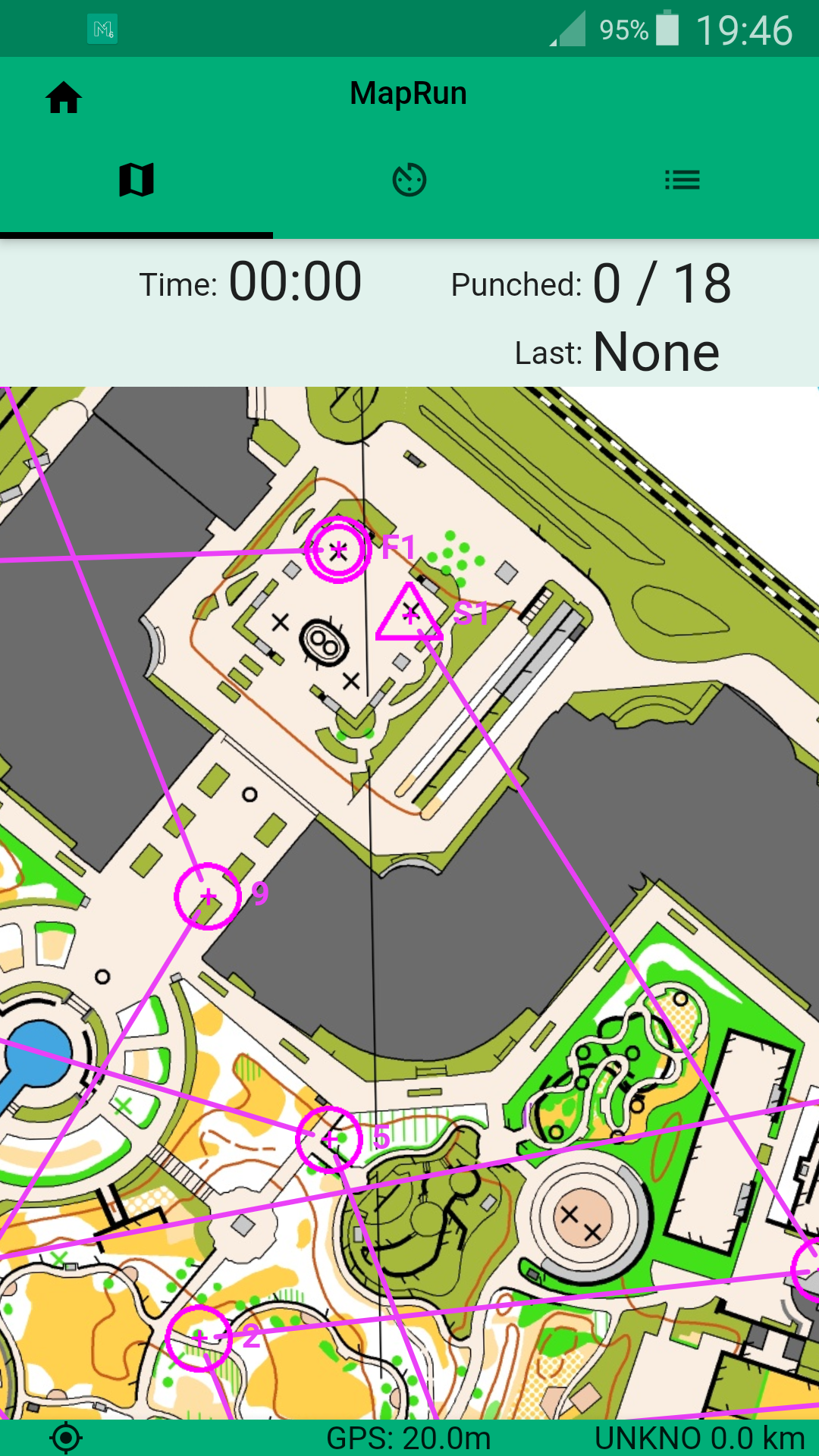
Below is my Go Pro video of running the whole course:
My biggest mistake is probably Control 1. When waiting to start, while I saw most people running straight, I saw a few ME runners turned left to an alley. I would like to see why, and I did not mind challenging navigation in the beginning, so I tried, and found that this route choice really did not have any advantages. It was too late to change, so I navigate slowly for this control.
There were several areas in the map that can look clearer. Some alleys should be exaggerated a bit to meet to minimum width requirement in orienteering map, so that some important information (e.g., a wall blocking the alley) can be shown. The purple lines for the course should also try to avoid covering the alleys, since it is hard to tell whether the alley can be passable. There are several controls in the later part of the course where straight line route is impossible due to walls and buildings (e.g. Controls 13, 16, 19, 22, and 23).
I did not expect a second place today. I think the true elites can finish 4 minutes faster than me.
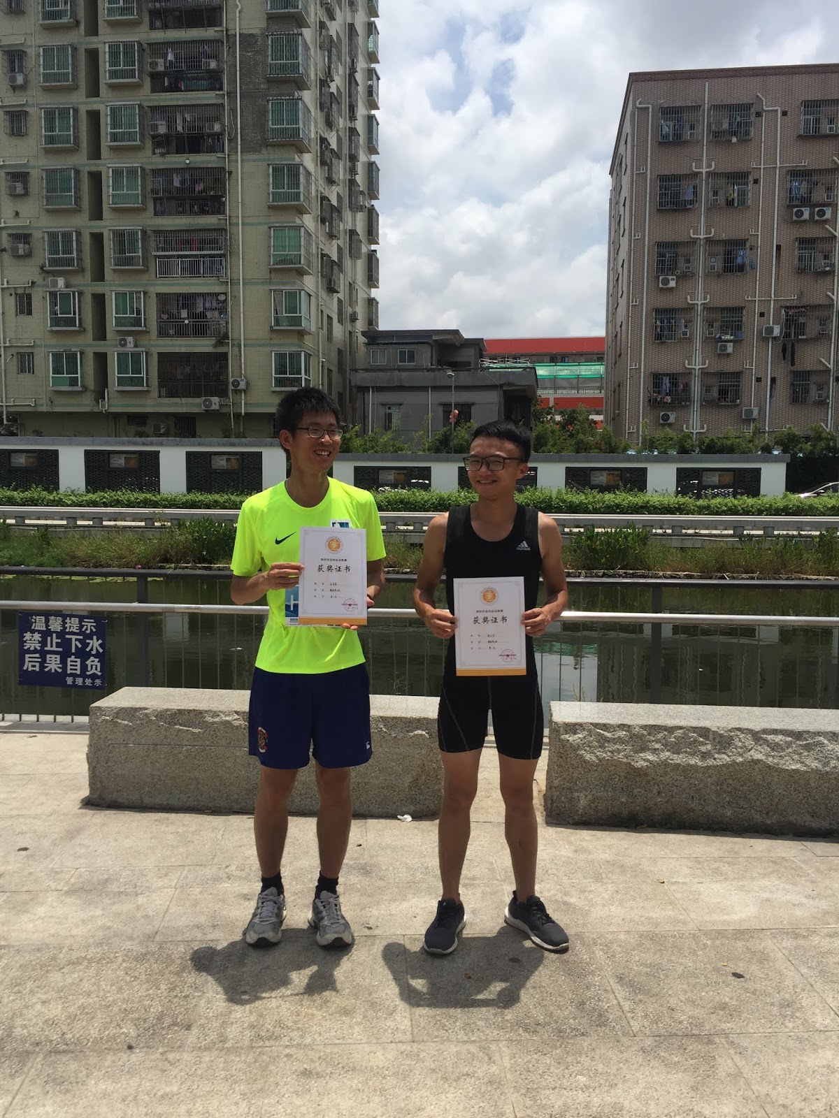
After the race, there were lunch around round tables:
I look forward to another village sprint orienteering in China! It is a great place to train orienteering techniques so that one's physical ability to run can be used fully in a sprint orienteering course.